“`html
How to Use Drones in Sustainable Site Analysis
In the realm of sustainable site analysis, drones have emerged as valuable tools that enhance precision and efficiency. These airborne devices provide unique perspectives and data that facilitate better planning and development in architecture and land use. This article delves into the myriad ways drones are revolutionizing site analysis, from environmental monitoring to landscape mapping, and offers insights into best practices for utilizing this technology sustainably. Read on to discover how drones can fit into a sustainable workflow and how they can support environmentally conscious decision-making in site planning and development.
1: Introduction to Drones in Site Analysis
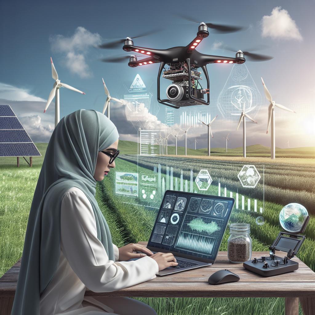
With advancements in technology, drones, or unmanned aerial vehicles (UAVs), have become integral to various fields, including sustainable site analysis. These compact flying devices are equipped with high-resolution cameras and agile maneuverability, allowing for accurate data collection over vast and often challenging terrains.
The data collected by drones can include 3D models, volumetric calculations, and infrared imagery, which are invaluable for assessing site conditions. Their capability to cover areas that are difficult or unsafe for humans makes them indispensable in modern site analysis strategies, ultimately contributing to more informed and sustainable decision-making processes.
2: Environmental Impact Assessment
Drones play a crucial role in conducting environmental impact assessments, offering a bird’s-eye view of ecosystems without intrusive human intervention. This technology allows for continuous monitoring and assessment of environmental conditions, including vegetation health, water quality, and wildlife habitats.
By using drones equipped with sensors and cameras, analysts can gather detailed information that supports the development of environmentally sustainable sites. These assessments are imperative for identifying potential environmental risks and ensuring compliance with ecological regulations, ultimately aiding in the protection and preservation of natural ecosystems.
3: Landscape Mapping and Analysis
One of the significant advantages of using drones in landscape mapping is their ability to deliver precise and accurate geographical data. Through photogrammetry and LiDAR technology, drones produce detailed topographic maps and 3D models that provide insight into terrain features, elevations, and land use patterns.
These detailed maps assist planners and architects in making informed decisions regarding site layout, identifying optimal building locations, and mitigating potential environmental risks. The high-resolution imagery captured by drones ensures minimal disruption to the site, aligning with the ethos of sustainability.
4: Monitoring Construction Progress
Drones not only assist in initial site analysis but also play a vital role in monitoring construction progress. By capturing aerial views of building sites over time, drones provide project managers with up-to-date visual records that help track progress against timelines and budgets.
This continuous monitoring capability ensures that construction projects adhere to sustainable practices by promptly identifying potential issues and deviations. Real-time data allows for adjustments that minimize environmental impact, enhance safety, and optimize resource use throughout the construction phase.
5: Energy Efficiency and Resource Management
Drones contribute to energy efficiency and resource management by analyzing site-specific factors that impact these areas. For instance, drones equipped with infrared cameras can identify heat loss in existing structures, suggesting ways to improve energy efficiency.
Furthermore, resource management benefits from drone technology through precise measurements and inventory assessments. Analysts can effectively manage natural resources by understanding the spatial distribution of water bodies, vegetation, and other ecological features, thereby promoting sustainable site development.
6: Best Practices for Sustainable Drone Usage
To maximize the benefits of drones in sustainable site analysis, it is essential to adhere to best practices that emphasize responsible usage. These include adhering to legal regulations and guidelines pertaining to drone flights, ensuring that drone operations cause minimal disruption to wildlife and local communities.
Additionally, utilizing drones with eco-friendly batteries and ensuring proper data handling practices can significantly enhance sustainability outcomes. Continuous training for operators to keep pace with technological advancements ensures that drones are used optimally and ethically, aligning with the goals of sustainable development.
Rate this article
Your feedback is crucial in helping us improve our content. Please rate the article above based on its relevance and accuracy.
Thanks for your feedback
We appreciate your time and effort in providing your feedback. Your insights help us enhance our article quality and relevance.
Tell us more
If you have additional thoughts or suggestions, please let us know. We value your input as it contributes to our ongoing improvements.
More articles on Architecture
Explore our library of articles on architecture, featuring in-depth analyses and discussions on trends and best practices.
Are you sure you want to delete your contribution?
If you wish to delete your contribution, please confirm your decision to proceed with this action.
Are you sure you want to delete your reply?
If you are contemplating the removal of your reply, verify and proceed if desired.
Summary of Main Points
| Key Areas | Core Insights |
|---|---|
| Introduction to Drones in Site Analysis | Discussed the transformative role of drones in improving precision and safety in site analysis. |
| Environmental Impact Assessment | Highlighted drones’ ability to monitor ecosystems without disrupting them. |
| Landscape Mapping and Analysis | Emphasized detailed topographic maps and 3D models production through advanced drone technology. |
| Monitoring Construction Progress | Explained how drones facilitate real-time tracking of construction, ensuring sustainable practices. |
| Energy Efficiency and Resource Management | Revealed drone applications in optimizing energy efficiency and managing natural resources. |
| Best Practices for Sustainable Drone Usage | Outlined responsible usage tips to enhance drone technology’s sustainability impact. |
“`